


3 Important Trends to Innovate in Agriculture in 2024
App Design & Development

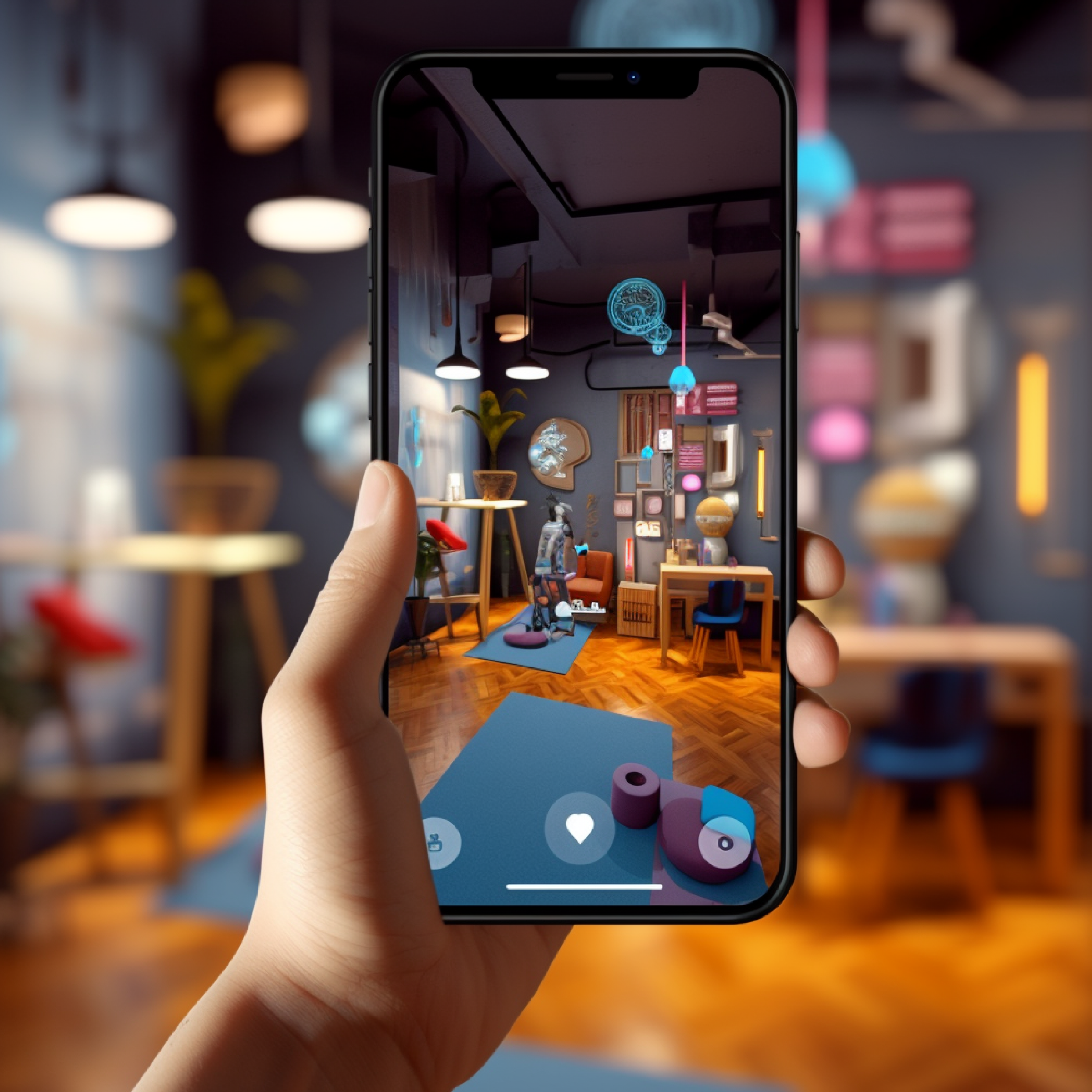
A user’s location holds substantial weight in app development as this revealing piece of data can be used from everything for advertising to interacting with services. Think about when you summon an Uber – the location you share with the app shows the driver your exact location, bringing a vehicle directly to you.
There are copious reasons to bring location services into your app. Here, we’re going to start by defining core technologies in this realm then discuss a solution on the market that helps developers build-out location services.
There are several ways that businesses can take advantage of a user’s location thanks to different technologies. A user’s location can be determined through various services which can be extremely valuable to both businesses and the end-user. Depending on the end goal, this will determine what technology should be used.
The first part of determining what technology to use is to understand what each does and how it works. Here, we’ll look at the most widely used services for determining location.
Note that with the following, accuracy depends on several factors, namely the number of active access points or sensors used in any scenario. In each case, a single access point or sensor will detect distance by signal strength – by reading the distances from multiple points, location is determined by referencing distances against each other to reveal where a user is in an environment.
GPS. This is perhaps the most familiar technology to most people – too, it plays a role in most location services. GPS (which stands for global positioning system) is an integrated system on smart devices and most computers that uses radio signals to interface with tracking stations that relay signals between satellites to determine the location of a device. Usually, a database such as OpenCellID is used which cross-references the signal between towers to pinpoint where a device is physically located.
Wi-Fi positioning. This works similarly to how GPS works except the same feat is accomplished on a wireless network. The signal relayed between a device’s Wi-Fi radio and the wireless access points – the signal is referenced between different access points that locate a device’s physical location so long as the user is connected to the network.
RFID and NFC positioning. Over short distances, RFID and NFC positioning use radio signals relayed between devices at either endpoint to determine location. This works well for indoor positioning as this technology uses an ad hoc connection directly between the device and one or more sensors. Because RFID and NFC are short-range signals, multiple sensors need to be placed throughout an environment to communicate with a device. Note that most (but not all) smart devices come equipped with such transmitters and receivers.
Bluetooth beaconing. Similar to RFID and NFC positioning, Bluetooth beaconing technology like iBeacon uses Bluetooth radios to communicate a user’s position. So long as Bluetooth is active on a device, it exchanges small amounts of data with nearby devices where the strength of the signal helps the beaconing system to determine the location of a device.
Geofencing. Geofencing is accomplished when an organization or individual establishes a virtual perimeter for an area known as a geofence. Depending on the underlying technology used (typically, GPS) users in that area can be subjected to certain features just by virtue of their location. For example, if you’ve ever seen an Amber Alert surface on your phone, it’s because your device is within a geofence location – emergency responders can send out push notifications to an area to alert users within this area of a missing child.
One of the services we like to use at Blue Label Labs is Radar.io which allows us to integrate location services into the backend of an app. The Radar SDK provides developers with tools to integrate specific location services, namely geofencing.
Radar’s geofencing solution works by using GPS out-of-the-box but can be configured to use other sensor technology as well. By pulling in map or sensor data into the Radar platform it’s easy to configure a geofence for a location, be it a store, venue, or some other location. Users that are in this location who have an app installed relative to the location can enjoy enhanced features due to being within the perimeter of a location.
By using the API, developers can use a device’s location to provide a variety of different services. For example, if geofencing is set up at a retail location, this could be used to send push notifications to users in that area who are using the store’s app. This could be used to send info about promotions, issue some kind of coupon, or alert users in the event of an emergency.
Truly, just about any location can be “geofenced” whether it belongs to a business or not. Whether using Radar or some other service provider, areas can be linked to an established geofence which a business can use to their advantage.
You can read about some great examples here if you’re so inclined. The main takeaway is that this enhances the capability of advertising both directly and indirectly.
In cases of direct advertising, users in the perimeter of a geofence or within some other area that’s equipped with one of the technologies we mentioned above can be directly contacted. By offering promotions, businesses can increase revenue as we all know that people tend to spend more when they’re offered a discount.
Too, there are cases of indirect advertising. If you read through the link we dropped earlier in this section, you probably noticed the example of Dunkin’ Donuts offering a specific Snapchat filter to users that are inside a location. This kind of indirect advertising is a sneaky, albeit effective, tactic that can entice viewers to come visit a location and enjoy their products. The best part is that the overhead for such advertising is relatively minimal.
Businesses that are looking to expand their reach should consider the merits of capitalizing on location services.
Blue Label Labs recognizes context is everything and user feedback is invaluable. What we learn allows us to tailor the design to perfectly fit your users. When it comes to location services, we can build your app such that it takes advantage of a user’s location using whatever kind of sensor technology that works best for your organization. Get in touch with us to learn more about how we can take your business to new heights using location services.