
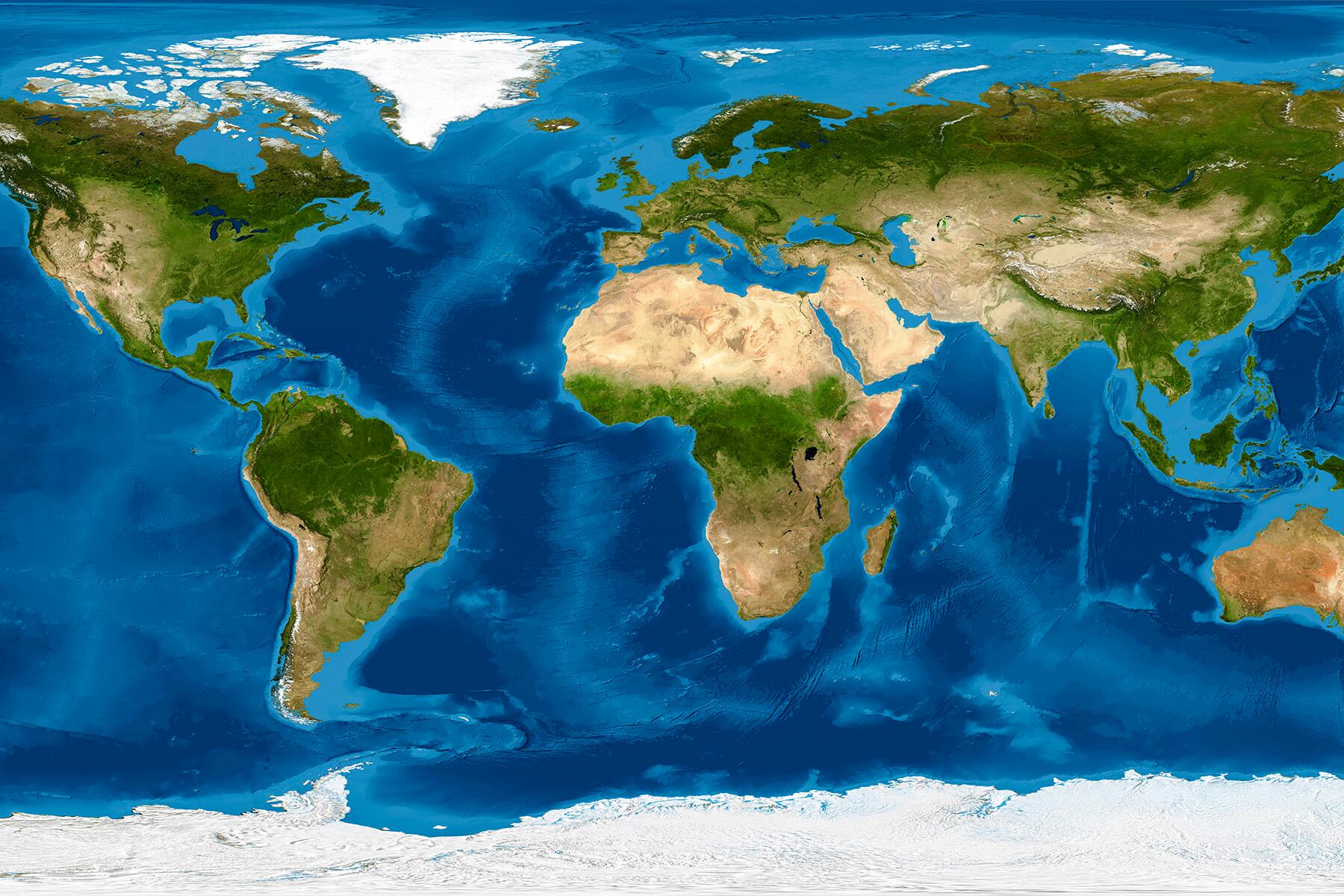
Cartography in modern times.
When I’m on a flight, I love watching the interactive flight path that shows what we’re flying over, the altitude and speed of the plane, and how much time I have before I can use the airport bathroom (I avoid airplane lavatories like the plague). It’s amusing to change the terrain on Google Maps when I’m in a mountain city and see my neighborhood on Google Earth.
Technology has added another dimension to maps: it has made them fun as well as informative. Did you know that there’s a map that introduces you to regional music? Or that there are many maps that show you what planes are flying overhead? And since we’re in the 21st century where conversations about climate change shouldn’t slip to the margins, online mapping tools are shedding light on mitigation and risks. Cartography has become so much more than scaling areas on paper (and countries fighting about it).
There are interesting, interactive maps on the internet that let you pick up the globe and view the world from different angles (figuratively). Here, you have a list of intelligent and awesome maps to increase your knowledge about the world we live in. I’ll bet you’ll find at least one you’ve never heard of before!
I can’t believe that you only included Northocentrtic maps. The ones from the southern perspective are equally enlightening