Parts of Toronto flooding as lake levels continue to rise
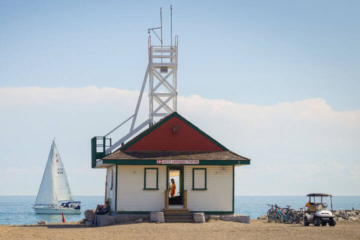
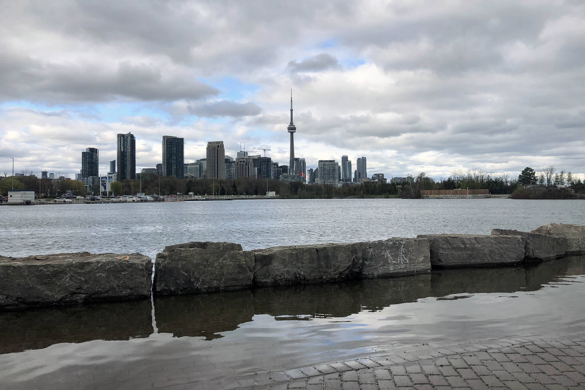
It's looking like another bad year for Toronto's waterfront — and in particular the Islands — as Lake Ontario swells beyond its historic maximum peak for May.
The U.S. Army Corps of Engineers, which keeps daily tabs on water levels for all five of the great lakes, reports that Lake Ontario reached 75.82 cm on Thursday, surpassing the previously-recorded maximum high of 75.80 during this month in 2017.
Fans (and especially residents) of Toronto's waterfront communities should well remember what 2017 was like in terms of flooding. The Toronto Islands were almost completely closed off to the public for an entire summer, hurting local businesses and wildlife.
Toronto islands are in danger of flooding for the second time in two years.
— Waiting for Vladot II: The Breakout ⚾️ (@_bradc_) May 24, 2019
Just sit and reflect on that. pic.twitter.com/rVv0Ozpnbm
We haven't yet reached the point of evacuation this year, but things aren't looking great, even despite new flood-protection measures.
"Winds have caused high waves in the harbour, breaching sandbagging efforts on the north shore of Toronto Island," announced City of Toronto spokesperson Brad Ross on Thursday evening.
"As a result, significant flooding is occurring near homes. Staff are on site now assessing damage and will begin restoring barriers and pumping water."
Lake levels are still rising and storms and wind can cause high waves, so staff and experts from TRCA continue to monitor and take action to address breaches, and strategically locate pumps. More to come tomorrow. END
— Brad Ross (@bradrossTO) May 24, 2019
Ross went on to say that "non-essential vehicles from the mainland" would not be permitted on the island for a period of 72 hours while crews worked to pump water back out into the lake.
Around 11 a.m. on Friday, Ross congratulated city staffers for their hard and successful work in pumping water and sandbagging the area.
The island remains safe and open for now, though. As City Councillor Joe Cressy explained in a post on his website Tuesday, "water levels are expected to continue rising for at least the next few weeks, before reaching their anticipated seasonal peak."
Docks & picnic tables partially underwater at Sunnyside Beach. @TRCA_Flood says water levels haven’t even peaked yet. Lake Ontario will continue to rise until June & could even reach 2017 levels when there were devastating floods on the islands. @CityNews pic.twitter.com/8DdVLfg73M
— Tina Yazdani (@TinaYazdani) May 18, 2019
Toronto and Region Conservation Authority (TRCA) updated its Lake Ontario Shoreline Hazard Warning on Friday morning to reflect higher water levels, noting that the average water level is now only 8 cm below the maximum of 75.93 observed in 2017.
And it's not just the islands which are feeling the effects of higher water levels.
"Impacts to shoreline areas, such as shortened beaches, erosion, trail/boardwalk closures, localized ponding and flooding, have been observed at, but not limited to" pretty much every beach and waterfront park in the city (see the full list here), according to TRCA.
Flooding at #WoodbineBeach #Toronto as viewed by #680News Jordan Kerr in #Chopper680 May 24 pic.twitter.com/zQjhG7iDKf
— Jill Taylor (@jilltaylor680) May 24, 2019
"Please exercise caution around all Lake Ontario shoreline areas, and avoid areas that are flooded or are experiencing erosion," TRCA's shoreline warning continues.
"Boardwalks and other trails along Lake Ontario can be dangerous during times of high waves. Please obey all trail closure notices."
With thunderstorms expected to drop another 15 mm of rain upon Toronto this Saturday afternoon alone, it may be a good idea to wear rubber boots near the lake right now.
Lauren O'Neil
Latest Videos
Latest Videos
Join the conversation Load comments