
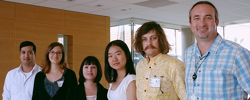
(L-R) Doss Dingli (Enterprise GIS Specialist, National Audubon Society), Cherie Southwick (Dangermond fellow), Doreen Whitley (Geospatial Information Officer, National Audubon Society), Yu Chuan Shan (Dangermond fellow), Ryan Hobbs (Dangermond fellow), David Gadsden (Lead, Nonprofit and Global Organizations, Esri)
The National Audubon Society and Esri have named USC Spatial Sciences Institute student Yu Chuan Shan as one of the first Dangermond Fellows. In this prestigious new fellowship program offered jointly by the National Audubon Society and Esri, three university students were hired by the Audubon Enterprise GIS team for June 2016 – June 2017 to assist in supporting Audubon’s Enterprise GIS platform and to foster the next generation of leaders in Enterprise GIS. Shan is a senior pursuing a B.S. in Geological Sciences and a minor in Spatial Studies.
Shan’s fellowship experience started this past summer at the Audubon headquarters in New York City. In her first week, she got to know her fellowship supervisors – Doreen Whitley, geospatial information officer with the National Audubon Society, and David Gadsden, Esri’s lead for Nonprofit and Global Organizations – and the other two Dangermond fellows, Cherie Southwick, who recently graduated from a master’s in GIS program at North Carolina State University, and Ryan Hobbs, who recently graduated from a master’s program at Evergreen College. The focus of this first week was to learn more about the Audubon organization.
The Dangermond fellows then traveled to Esri headquarters in Redlands, California for their second week. There they learned about each department of Esri and several core projects, including in augmented reality technology and green infrastructure, and received intensive training in the advanced workflow of ArcGIS.
In her third week, Shan’s training in Esri operations and its products continued in San Diego, California at the Esri User Conference, where she and the other Dangermond fellows also met with Audubon staff from regional centers and other professionals from around the world attending the Esri UC. After the Esri UC, the fellows returned to their home locations and have been working part-time remotely on their projects.
“Our two main tasks are managing Audubon’s Enterprise GIS system and compiling GIS data for different projects. Being part of the GIS support team, I assist Audubon staff in licensing ArcGIS and demonstrate relevant functionalities of the software through phone and video conferences,” said Shan. “The individual projects I have been working on include improving Audubon’s native plants database and constructing maps of plant hardiness zones for web application, mapping North Carolina climate strongholds so as to identify important bird areas that are subject to sea level rise, and researching available resources to improve mapping products for Audubon’s climate initiative,” she explained.
The Dangermond fellow team has check-in conference calls every few weeks and are mentored by experts in the GIS platform. In December 2016, Shan and the other Dangermond fellows presented a story map of their experiences thus far to Esri’s founder and president, Jack Dangermond.
Shan said about her experience thus far, “It’s such an honor to be a Dangermond fellow. Thanks to this program, I have been exposed to a vast amount of resources about GIS, including access to all of Esri’s online courses as well as Esri press publications. Most importantly, I am working on real-life projects with the National Audubon Society to learn and appreciate how GIS is helping to make a better world.”

