mapsdesign:General Map of France (established under the leadership of César-François Cassini de Thury). Source: http://gallicalabs.bnf.fr/ark:/12148/btv1b530951846.r=
The Astronomical Rotula by J. Ferguson (1760)Follow me on Instagram:http://instagram.com/bestmapsdesign/
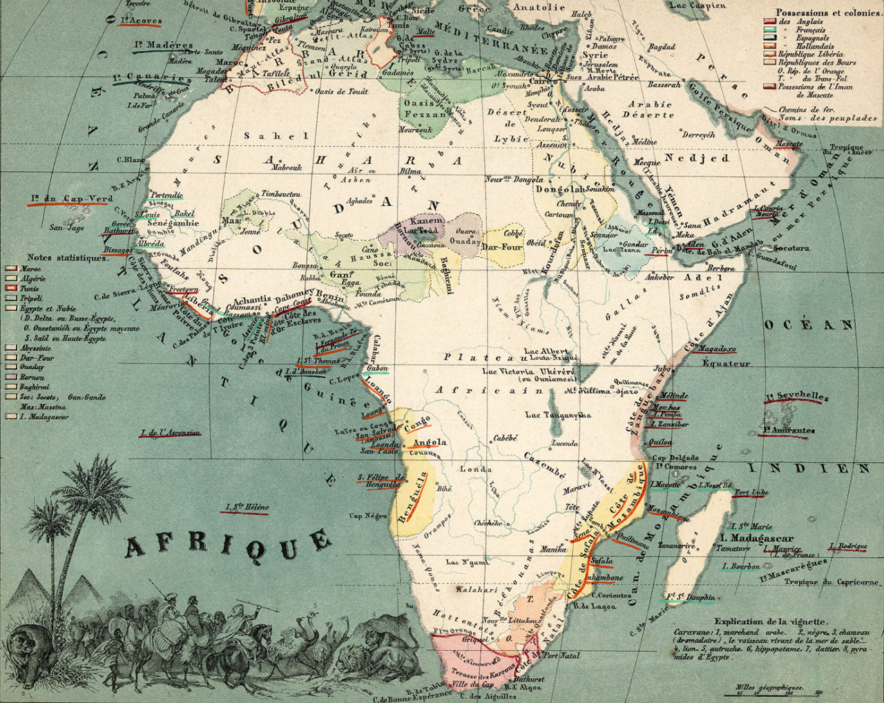
mapsdesign:Afrique by August Ravenstein (1865)More about Maps and Data visualization on my Twitter account or Facebook or Instagram @neonitehk Follow me :)
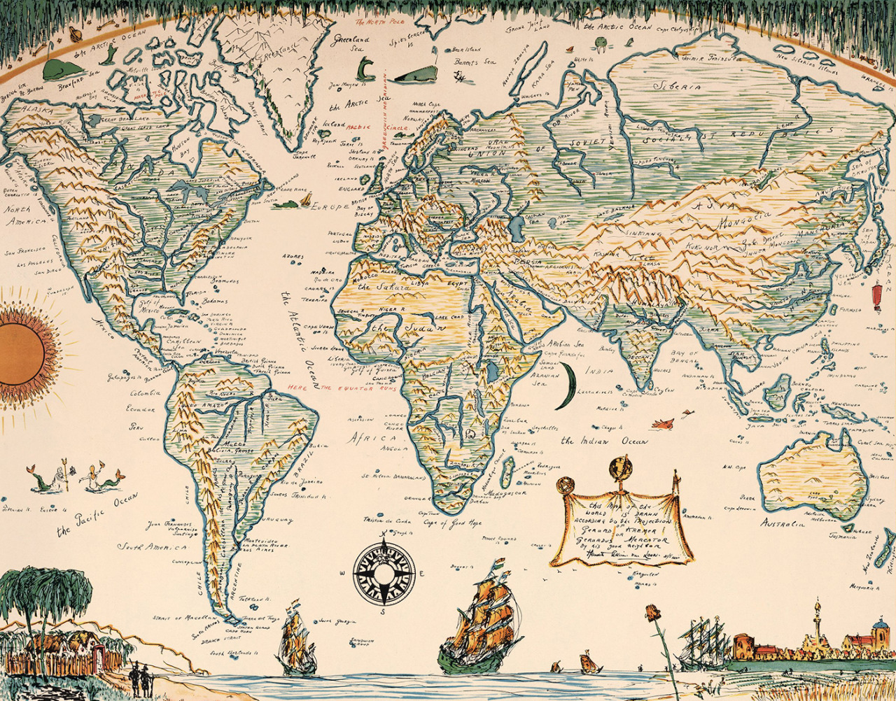
mapsdesign:World map by Hendrik Willem Van Loom (Copyright 1932)More about Maps and Data visualization on my Twitter account. Follow me :)
Indochine Francaise by Lucien Boucher in 1945Follow me on Instagram:http://instagram.com/bestmapsdesign/
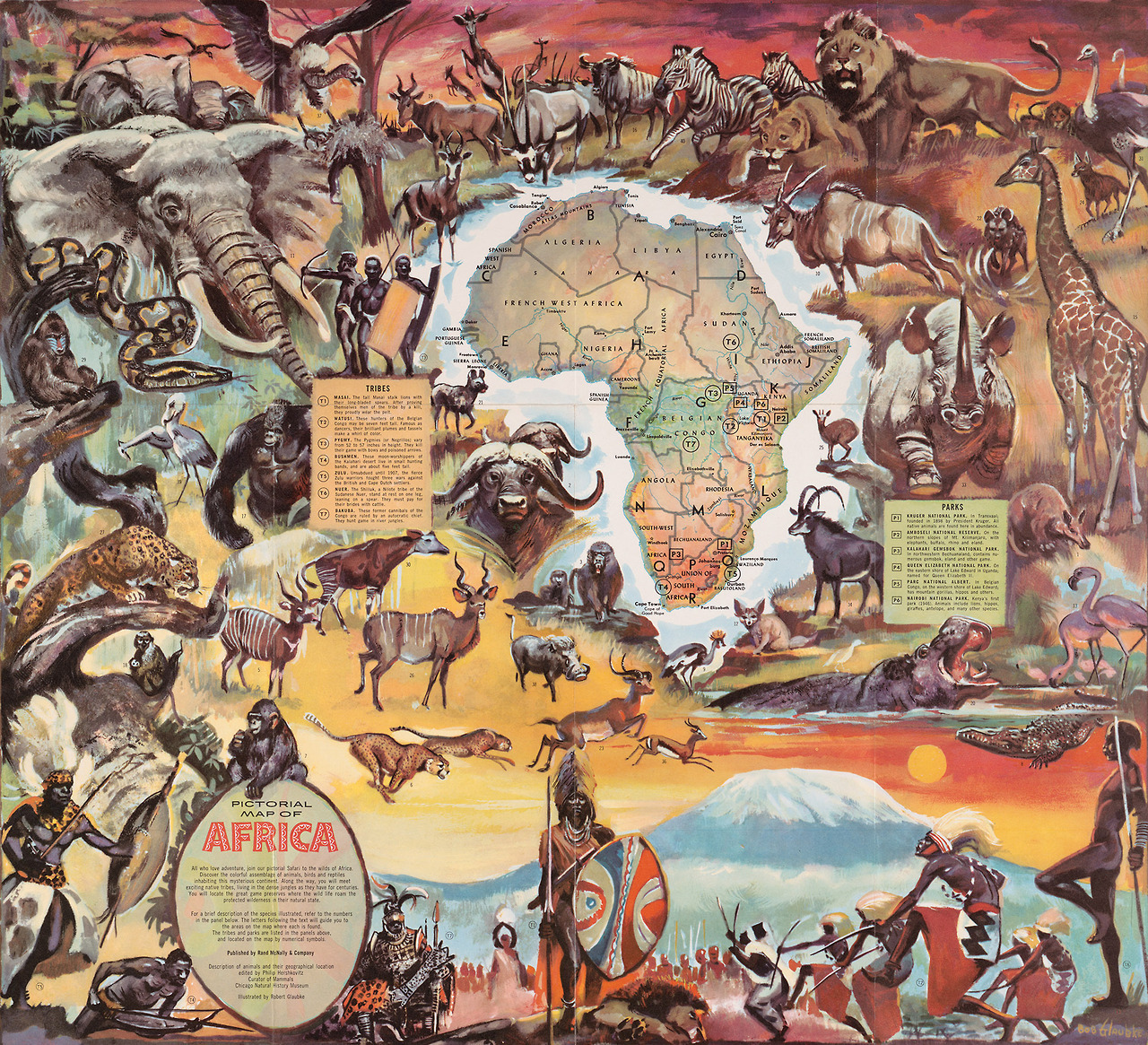
mapsdesign:Pictorial Map of Africa by Robert Glaubke (1957)More about Maps and Data visualization on my Twitter account or Facebook or Instagram @neonitehk Follow me :)
New England Institution for the Education of the Blind by Samuel Gridley Howe and Samuel P. Ruggles (1837)Follow me on Instagram:http://instagram.com/bestmapsdesign/