
Wesleyan offers many unique opportunities each year to combine academic study with service work. The GIS Service-Learning Laboratory is a .5 credit service-learning course offered concurrently to Introduction to GIS by Professor Kim Diver through the Earth & Environmental Sciences Department. Professor Kim Diver teaches both courses, with the help of Teaching Assistant Shaun Mahmood and Course Assistant Tessa Hill. Students in the course work in small groups to utilize GIS concepts and skills to solve local problems in environmental sciences. They work with community organizations to solve problems that are important to them. After a semester of collecting, analyzing, and visually organizing data, the groups hold a public presentation of their findings. On Thursday, December 10th, representatives from the partner organizations attended these final presentations.
Six groups presented their research at the session:
Ezra Steinfeld & Will Speiser from the Lake Hayward team.
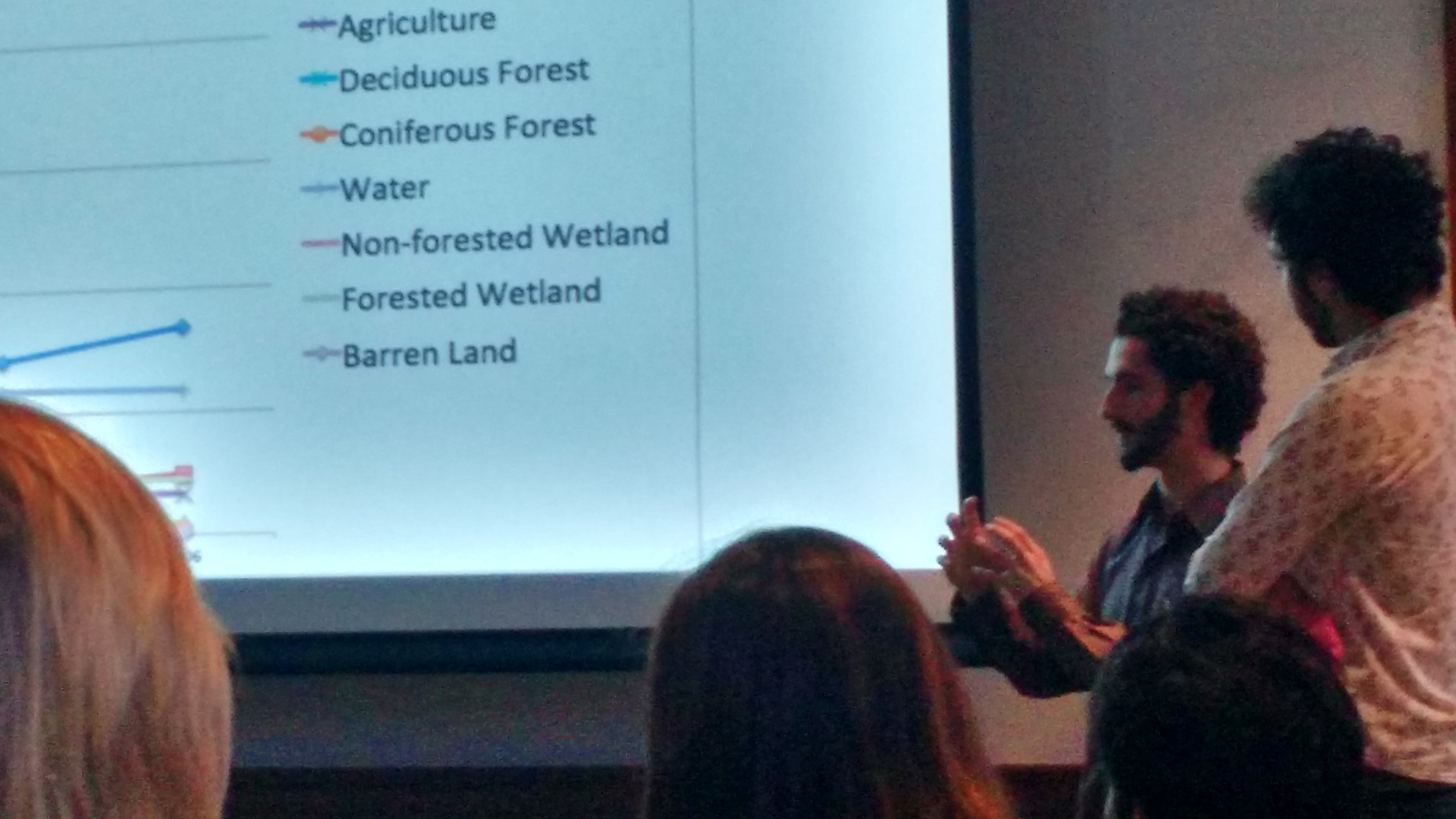
The Lake Hayward group worked with a neighborhood association to map out accurate watershed and storm drainage data for Lake Hayward. This will allow them to advise the neighborhood of any potential or existing storm water runoff issues and recommend remediation steps.
The Coginchaug River group created an online interactive map of the Coginchaug River that presents water quality and land use data. This map will be displayed by the CT River Coastal Conservation District’s website and will primarily be targeted as a resource for the community to learn more about the quality of the river at various points.
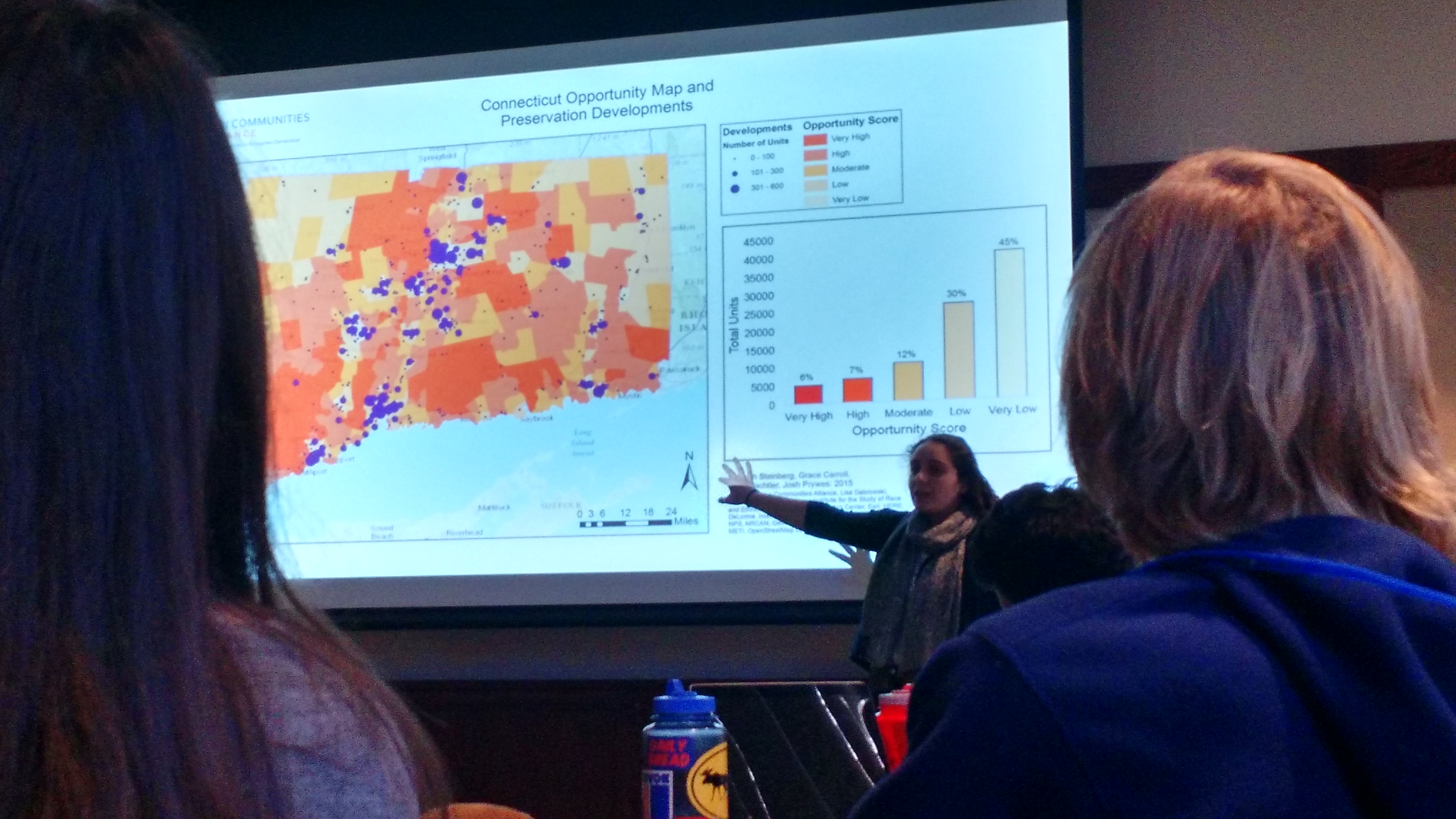
Hannah Steinberg, presenting on the Open Communities Alliance.
Open Communities Alliance uses opportunity mapping to show where opportunities for residents exist in the state. The student group used multiple data sets to map where people who receive government housing subsidies live in Connecticut, and compare it to OCA’s existing data sets. The maps will be used in their public outreach, fundraising, and legislative work.
The team that partnered with the Middlesex Land Trust created a map of the Upper Pine Brook Preserve that includes trails and noteworthy features to increase public interest and participation in the Land Trust. This map will be included on a trailhead kiosk at the preserve and on the Land Trust’s website for those interested in exploring the wildlife or trails of the area.

Melissa Lowe & Jed Siebert, who worked with The Connecticut Forest and Parks Association.
The Connecticut Forest and Parks Association group built a story map describing the habitats that the New England Trail passes through in Connecticut. The CFPA will use the map to provide more information to people using the trail.
The Rhode Island Department of Environmental Management group created an interactive map that shows the state parks in Rhode Island and allows the user to click on each park to view its activities. The Rhode Island DEM has previously used a mobile app, but this format makes the map accessible from a computer.
Each group presented for 15 minutes, and then answered questions from the audience. They explained, for the uninitiated, how GIS technology and various mapping systems function. The teams all used these tools differently to support the needs of their community partner organization. I was impressed at the diversity of needs that GIS can meet, and with how students used it to create and analyze their own data. Some groups, such as the Connecticut Forest and Parks Association team, used satellite imagery to build their maps, while others, such as the Lake Hayward team, traveled around their mapping site and used GPS tools to individually add data points to their map.