New EU Sentinel radar satellite takes first image
- Published
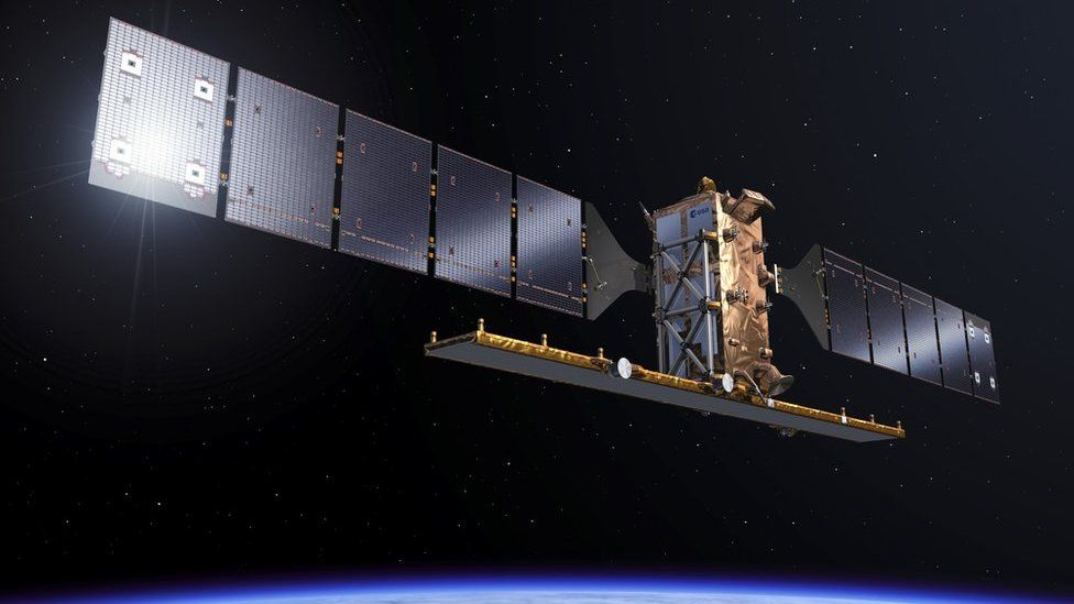
The EU's newest Earth observation satellite, Sentinel-1b, has returned its first radar imagery.
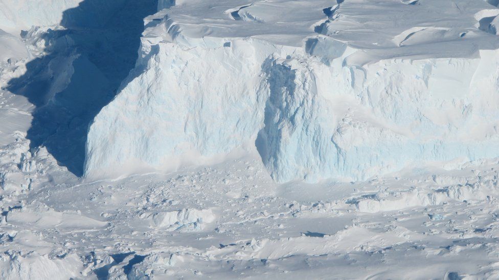
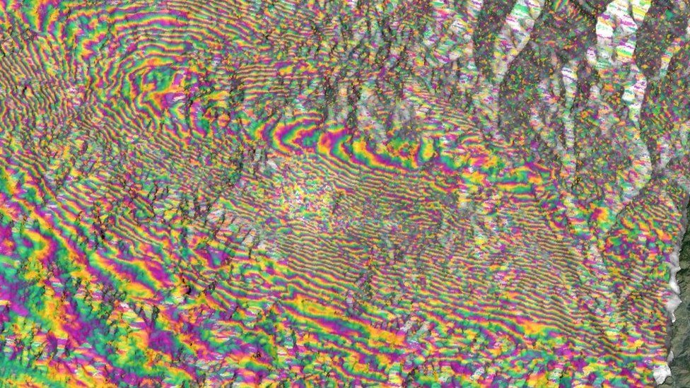
It shows a 250km swathe of the Arctic that includes Svalbard, the Norwegian archipelago.
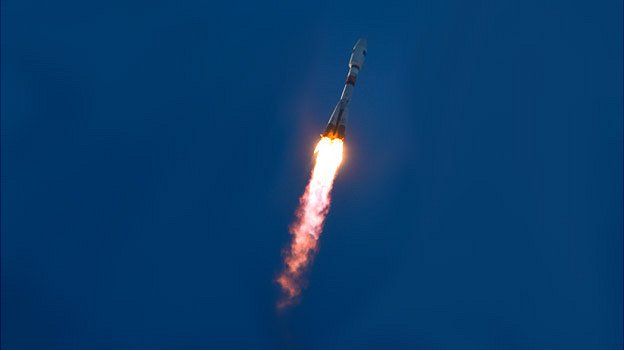
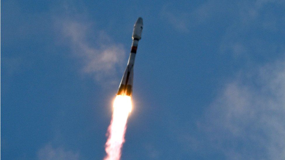
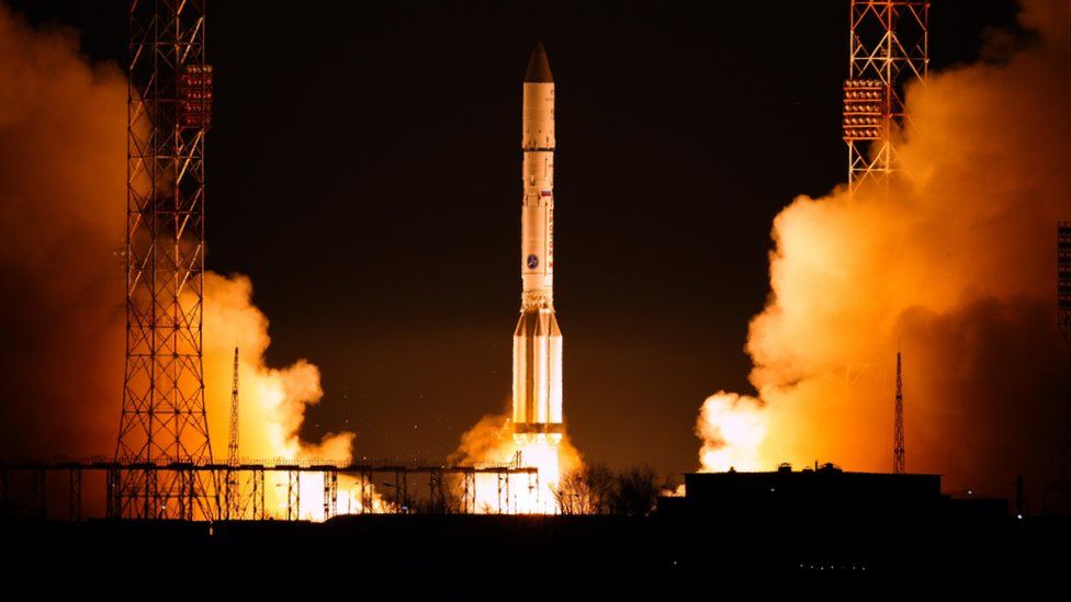
Sentinel-1b was launched on Monday by a Soyuz rocket, and engineers have spent the hours since running early checks.
In the coming weeks, the spacecraft will be manoeuvred into its final orbit 700km above the Earth, with the aim of starting full operations in September.

Every new satellite goes through a period called Leop - Launch and Early Operation Phase. It is a series of tests that aim to confirm the satellite survived the vibration of launch and ascent without damage.
The first task for controllers once Sentinel-1b came off the top of the Soyuz' Fregat upper-stage on Monday was to deploy the spacecraft's solar panels and radar antennas. Stowed to fit inside the rocket, they had to be unfurled in a one-by-one "ballet" so as not to jam into each other.
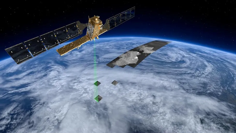
The radar instrument itself was switched on early on Thursday, and the 600km-long strip on this page was acquired within a couple of hours. An extended calibration phase will go on through the summer.
Sentinel-1b is being flown in coordination with a sister platform, Sentinel-1a, which was launched in 2014.
In the same orbital plane but separated by 180 degrees, the pair will map the surface of the globe every six days.
Their data - some 5 terabits per day - will be totally free and open for anyone to use.
Radar has rather specialist uses, however.
Its key advantage is that it is able to sense the surface of the planet every single hour of the day or night, and in all weathers.
This is pertinent in regions like the Arctic, where the winter is dark for months on end and the skies can experience a lot of cloud.
An important application more generally across the globe will be disaster response - making rapid maps of places that have been hit by storms, floods, quakes, tsunamis and landslides.
The Sentinels carry laser communications systems that allow them, in principle, to get their data on to the desks of the people who need it within 20 minutes of acquisition.
The EU funds the Sentinels though its Copernicus programme. However, it asks the European Space Agency, with its technical knowledge, to procure and manage the satellites.
In addition to Sentinels 1a and 1b, a colour camera (Sentinel-2a) and an oceans and land observer (Sentinel-3a) have also been launched.
An atmospheric sensing satellite (Sentinel-5p) will go up later this year.

The European-funded Sentinel series

- The Sentinels represent the world's most ambitious Earth observation project
- Sentinel-1: Radar satellite that can see the Earth's surface in all weathers
- Sentinel-2: Colour camera dedicated to study principally land changes
- Sentinel-3: Multi-wavelength detectors tuned to observe ocean behaviour
- Sentinel-4: High-orbiting sensor to measure atmospheric gases
- Sentinel-5: Low-orbiting atmospheric sensor to help monitor air quality
- Sentinel-6: Evolution of the long-running Jason sea-surface height series
What is the Copernicus programme?
- EU project that is being procured with European Space Agency help
- Pulls together all Earth-monitoring data, from space and the ground
- Will use a range of spacecraft - some already up there, others yet to fly
- Expected to be invaluable to scientists studying climate change
- Important for disaster response - earthquakes, floods, fires etc
- Data will also help design and enforce EU policies: fishing quotas etc


Jonathan.Amos-INTERNET@bbc.co.uk and follow me on Twitter: @BBCAmos
- Published25 April 2016
- Published22 April 2016
- Published21 April 2016
- Published30 January 2016
- Published29 April 2015
- Published3 April 2014